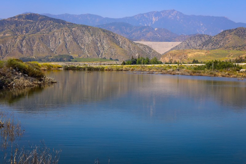
The San Bernardino Valley Water Conservation District has kicked off a new hydrological study to quadruple the amount of water that can be returned to the underground aquifer near Mill Creek, an 18-mile-long stream where the District currently manages 57 percolation basins to capture storm flows to recharge local groundwater supplies.
The Hydrologic Engineering Center’s River Analysis System, called HEC-RAS, is an advanced computer software that models water flow and ponding through natural rivers and channels, the transport of sediment carried with that flow, and more. Developed by the U.S. Army Corps of Engineers, it allows for predictive analysis to help District engineers and operators build and maintain better recharge facilities to optimize groundwater storage.
“This is one of the most intricate models we have ever had created for us,” said General Manager Betsy Miller Vixie. “The data is so comprehensive it requires six days to run, but we’ve had it broken into sections to we can run parts in just a few hours.”
The information is being used to improve the capture and recharge of flow – making the most of the water flowing into the creek, Miller Vixie explained. “The exciting thing about the HEC-RAS model is we can project with considerable accuracy how flows will react under many different scenarios. This will help us to identify strategies to significantly improve the science behind our groundwater management.”
The tools needed to analyze current and proposed conditions are extensive. These tools include Civil3D to design and quantity improvements, geological borings and test pits to characterize soils and percolation rates, hydrology software to model storm runoff flow rates, hydraulics software to model the conveyance through the various canals and basins, and groundwater modeling software that uses all the data to estimate the recharge in various storms. The computer program that brings this all together to model the surface flow during and after storms is the HEC-RAS model.
Mill Creek is the first of eight locations being studied as part of the District’s Active Recharge Project coordinated in partnership with the San Bernardino Valley Municipal Water District. Eventually, all sites will have the same level of analysis performed to determine the most cost-effective recharge strategies possible for the Bunker Hill Groundwater Basin. All studies are expected to be completed at the end of 2023.